Bear Mountain region hiking trails have been my favorites for some time now, including Anthony’s Nose trail which offers magnificent view.
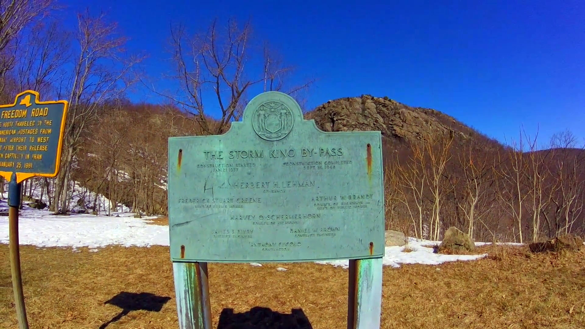
After seeking comparable trails near it, I ran into Storm King State Park’s Butter Hill trail. AllTrails.com had good review, and the view seemed pretty awesome so I decided to go for it this winter.
Although the trail that I took was not long, and took little over one hour round trip, it did offer great view of the valley and the curved road that the video and photo do not do the justice. You should really see it for yourself.
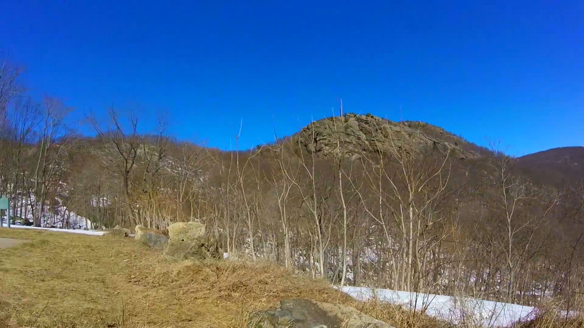
To get started, enter “Storm King State Park” on your GPS and it will lead you to the parking lot of the state park entrance. It offers great distance view of the peak:
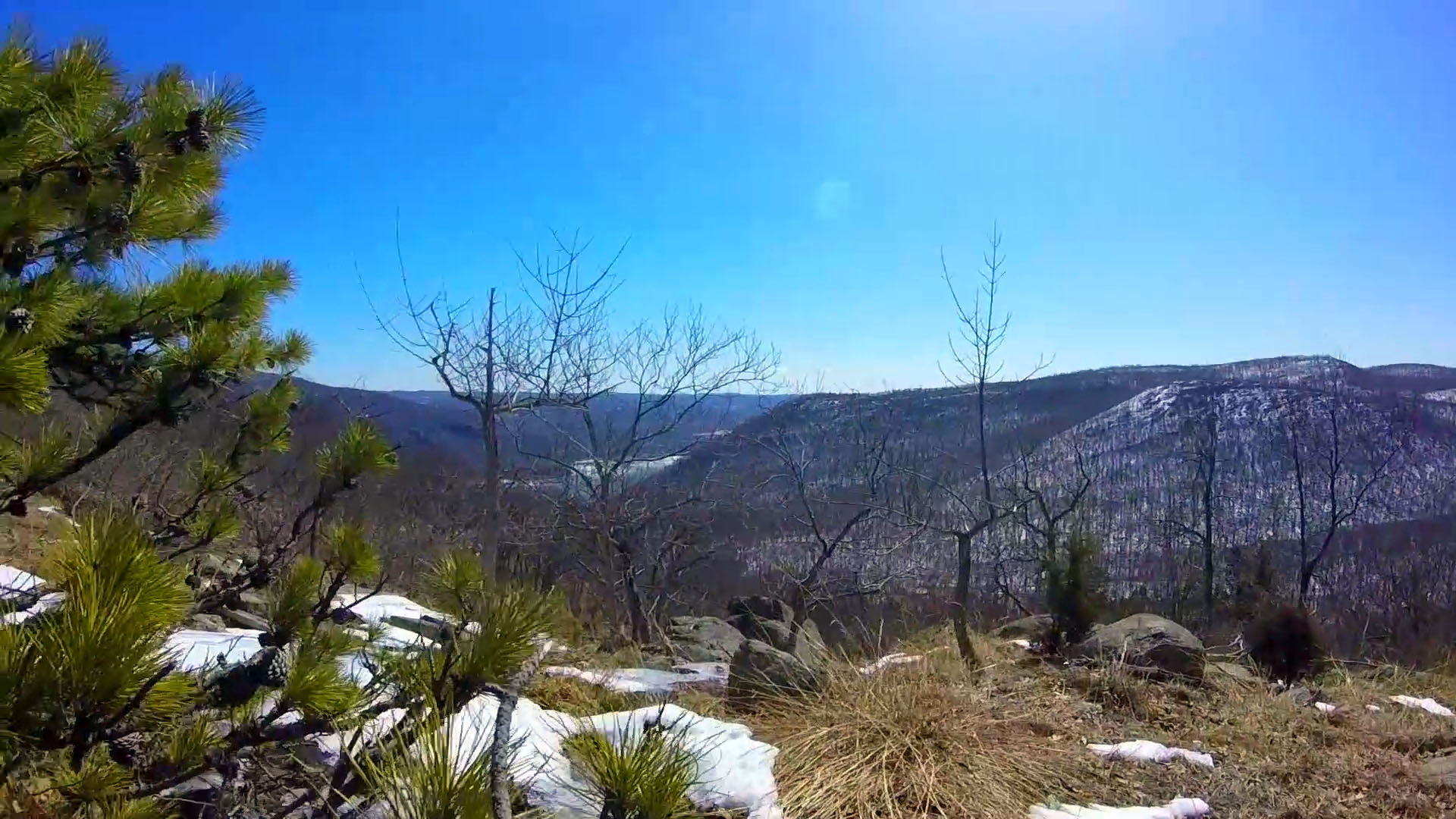
You can either take right to go through more gradual trail up to the peak, or take left to go through steep ascend to the peak. I took the right side trail. At about mid point, it offers nice view of the river:
Unfortunately, I missed the trail mark and relied on my phone’s Google Maps to get to the top of the mountain. It did offer great workout and view which normally wouldn’t be available if you were to take the usual trail.
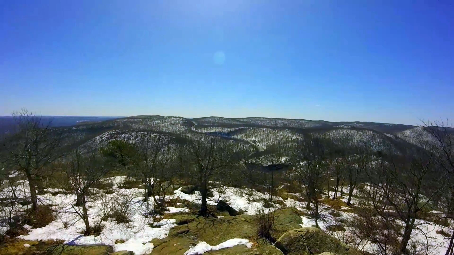
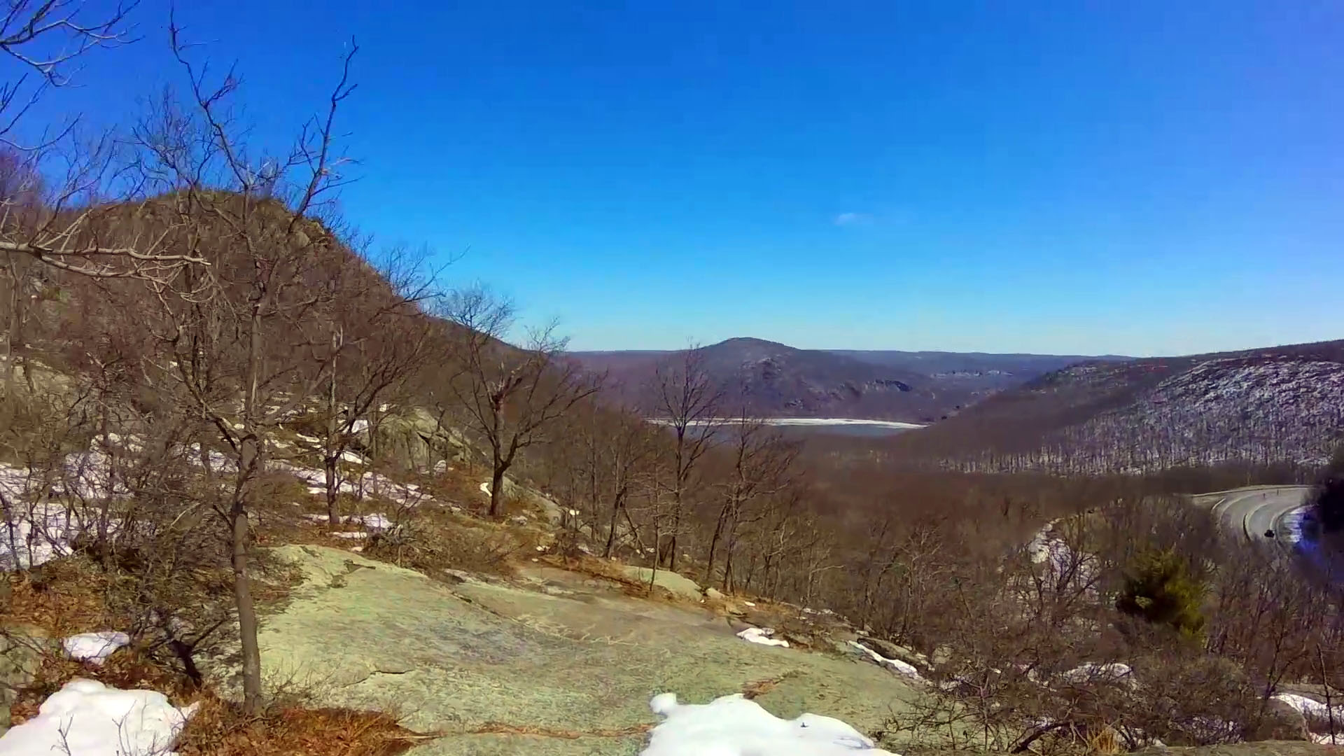
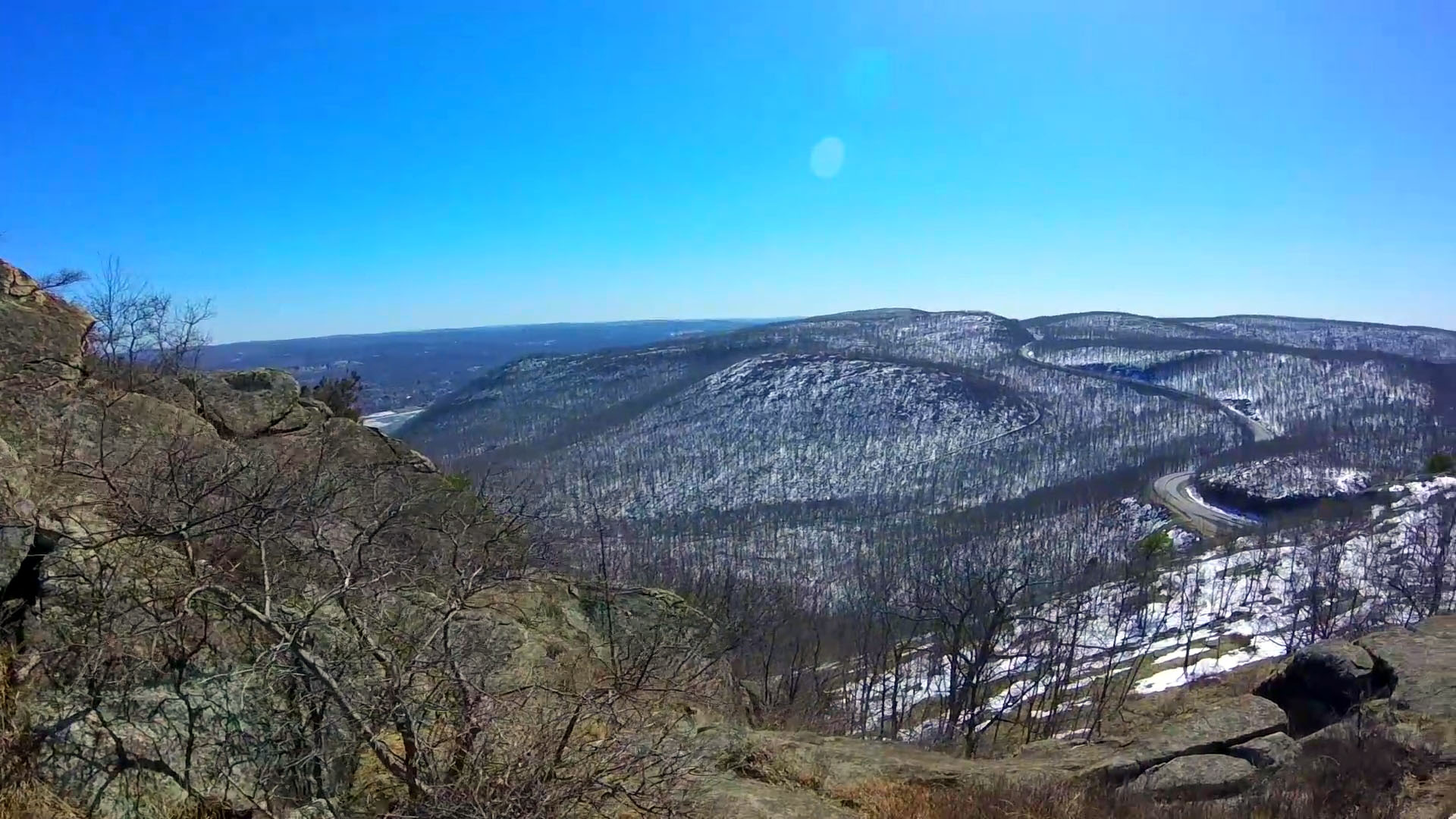
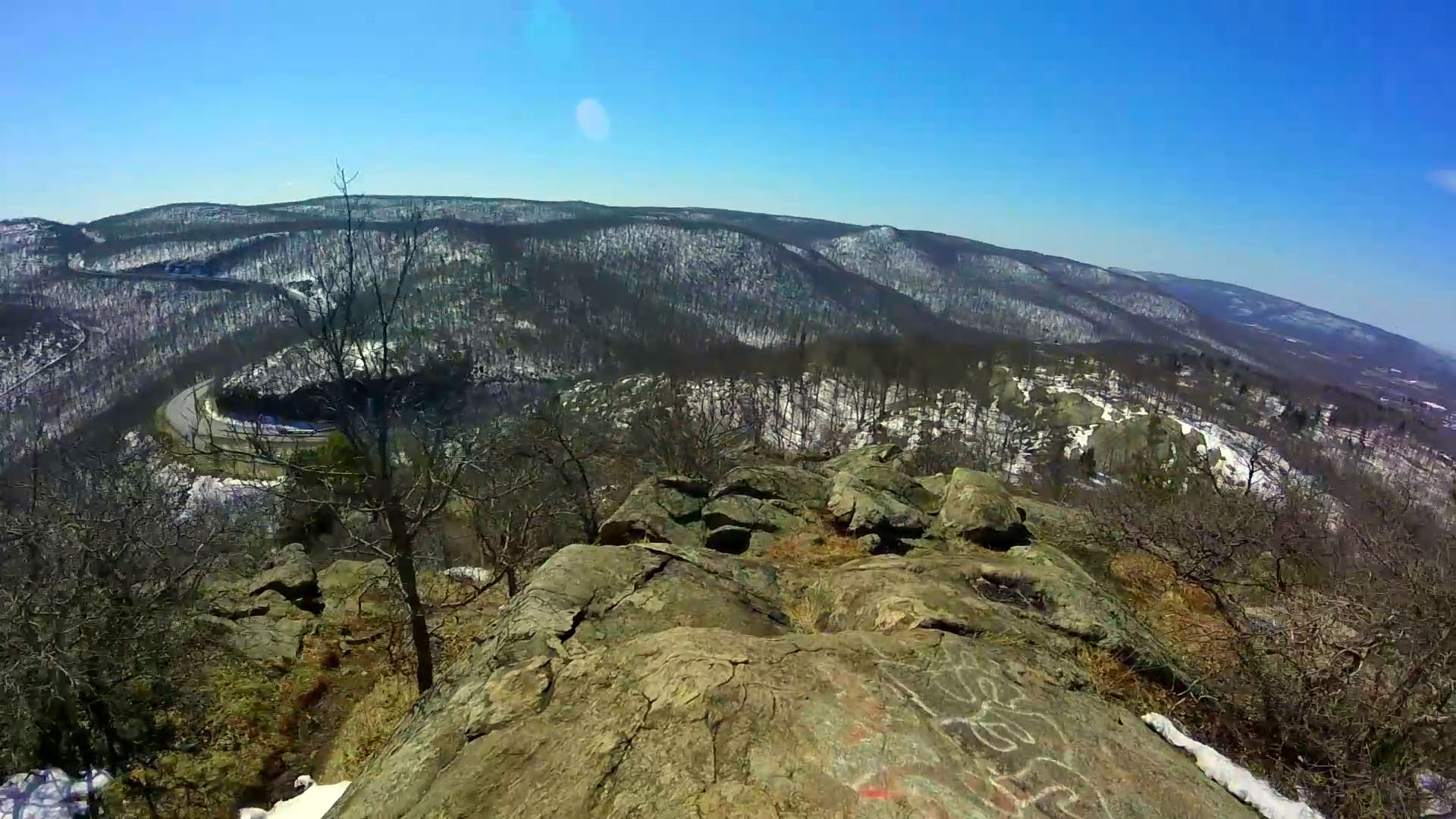
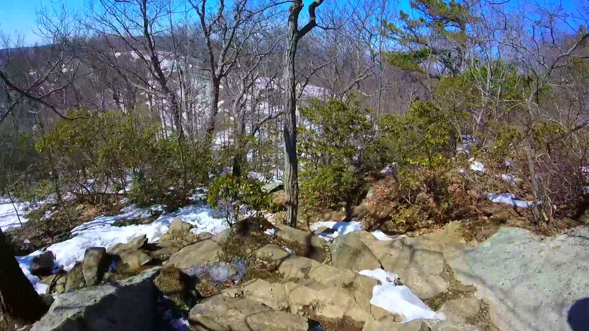
The peak offers magnificent 360 degree view of the area. I loved the view of the valley and the curved road:
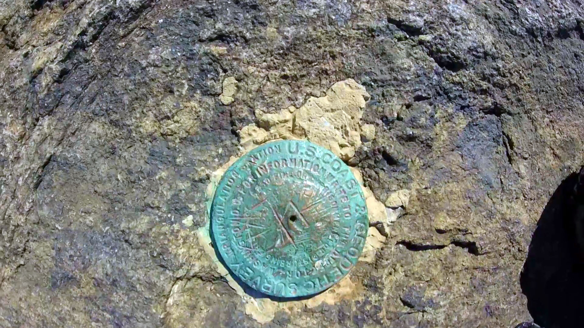
You will also find the Coast Guard mark at the top of the rock.
As you head down, it offers 3 red strip trail marks warning you to be careful. It is a steep descend but continue to offer great views to the curvy road and the valley:
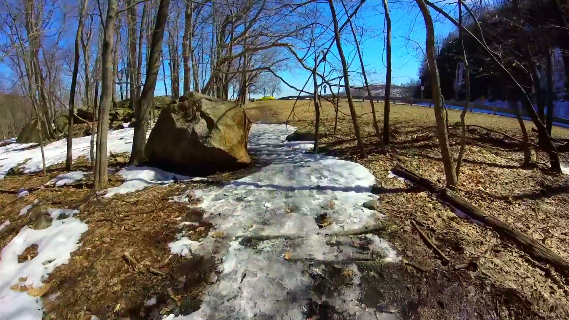
Follow the trail marks, and it will lead you back to the parking lot.
I visited the trail again in Spring with my wife. This time, I took the left to go through the steep ascend. It was great but little too short compared to Bear Mountain trail but the view was superb.
If happen to be near by, check out this hidden local’s favorite trail!


